Sunday 25 September 2016

(Final?) Day of field work - September 19, 2016

This past week, I finished what I hope is my final day in the field for my MSc thesis project. Our mission on Monday was to collect all our remaining sensors and data from the field, as well as auger a auger to a layer underneath the meadow that was imaged by the geophysics but difficult to interpret. The augering was messy and in the end not very successful; out target was at about 6 m below surface, but we did not get past 4 m deep. However, despite the slurry of mud that we got covered in, all the other data download went off without a hitch, and we were treated beautiful eye candy all day. There was a dusting of snow over the whole valley that morning, and the larch trees with their yellow, autumnal needles added a dazzling and vibrant element to the landscape. We may have looking like messy ogres by the end of the day, but we were treated to beautiful panoramas throughout.

A big thanks to Jen Hanlon and Polina Abrakhimova for helping me out in finishing off my field work!

For these coming weeks, I'm focussing on finalizing my inversion images and doing a proper depth conversion of my GPR data. Then the final interpretation on writing begins...
Downloading some time-lapse photos

A view of the valley on this cool September morning

Jen

Polina

Me

Happy to have a big truck to drive around this site

Some of my models of the subsurface based on 2015's resistivity and seimic refraction measurements. The black line shows the target of our digging.
This wet sloppy mess got all over us (but thankfully not on the camera.) With the sidewall collapsing and the suction on our auger so strong, we gave up after 4 m. 

A dried up Bonsai Lake in the background

In some places, where there is water in the lakebed, it just disappears into small openings in the clay. 

Polina points out some other places where there are holes in the clay layer where water might be seeing in to. 

On June 28, the water was almost at the top of this stilling well. Where'd the lake go?

Wednesday 14 September 2016

Quick Update - EAGE - NSG Barcelona 2016

As part of being named one of the "Best of SAGEEP 2016" presentations at the Environmental and Engineering Geophysics Society's March conference in Denver, I had the privilege of being invited to the conference of their European counterpart - the European Association of Geoscientists and Engineers (EAGE) Near Surface Geoscience (NSG) division. That involved a trip this September to Barcelona for the 22nd European Meeting of Environmental and Engineering Geophysics.

That's me, arriving at the conference centre on September 5

It was a pleasure to share my findings with a new audience and to make some new connections with counterparts in Europe. The presentation went smoothly, and I had some extra days to immerse myself in Catalonian culture and to enjoy Mediterranean heat.

My talk followed immediately after the opening ceremonies. It was a bit nerve-wracking to present to a large audience, but the presentation went smoothly. 
I had some extra time to do some sightseeing too. This was La Sagrada Familia cathedral, a famous Barcelona landmark
The trip capped off an enjoyable albeit hectic summer of field work, personal travels (including a wedding in Norway and family visits in Ontario), and of moving houses. I'm looking forward to settling back in to Calgary, completing data processing shortly, and beginning the process of writing my thesis.


Tuesday 2 August 2016

July 2016 Geophysics Campaign

July 19-23

From July 19-23, we pulled out the GPR, ERT, and seismic refraction equipment again to finish off the geophysical data collection for my project. While last year's 19-day campaign was a success, there were some gaps that, though not critical, would be very useful in interpreting out results. Our objectives for the week were two-fold:

  1. Get more detailed information about the geometry of subsurface inputs to one important, perennial spring using ERT
  2. Collect GPR, ERT, and seismic data at locations with outcropping bedrock to collect petrophysical information on the two most important formations in the area
In the end, we completed three ERT surveys - two 2D lines and one 3D survey - and one each of GPR and ERT. 


Orthophoto showing the locations of last year's geophysics surveys (pink), this year's surveys (red), and important springs (blue circles). The new survey in the lower right side of the image is located on a thrust fault contact between Jurassic shale (Fernie Fm.) and Carboniferous limestone (Palliser Fm.)
While this 5-day campaign was not nearly as massive as last year's nearly three-week stint, we had to rely once again on the help of many eager volunteers. A shout out to Cody Good (University of Alberta), Feodora Ivaniuk, Jenna Trofin, Kelsey Tillapaugh, Kristi Kublik, and Rachel Lauer (University of Calgary) for volunteering their time. I also need to thank my trusty staff - Brandon Hill, Jesse He, and Anna Pekinasova - for all their hard work, support, and leadership. I was ill with the stomach flu the day before the campaign started, and they helped with many of the preparations in addition to helping in the field. A thank you too to Ben Stevenson for support before and after with field preparations. 


My crew July 19-21, from left to right: Cody Good, Kelsey Tillapaugh, Jenna Trofin, Brandon Hill, Anna Pekinasova, Jesse He

My crew July 22-23, from left to right: Cody Good, Kristi Kublik, Jenna Trofin, Anna Pekinasova, Rachel Lauer, and Feodora Ivaniuk
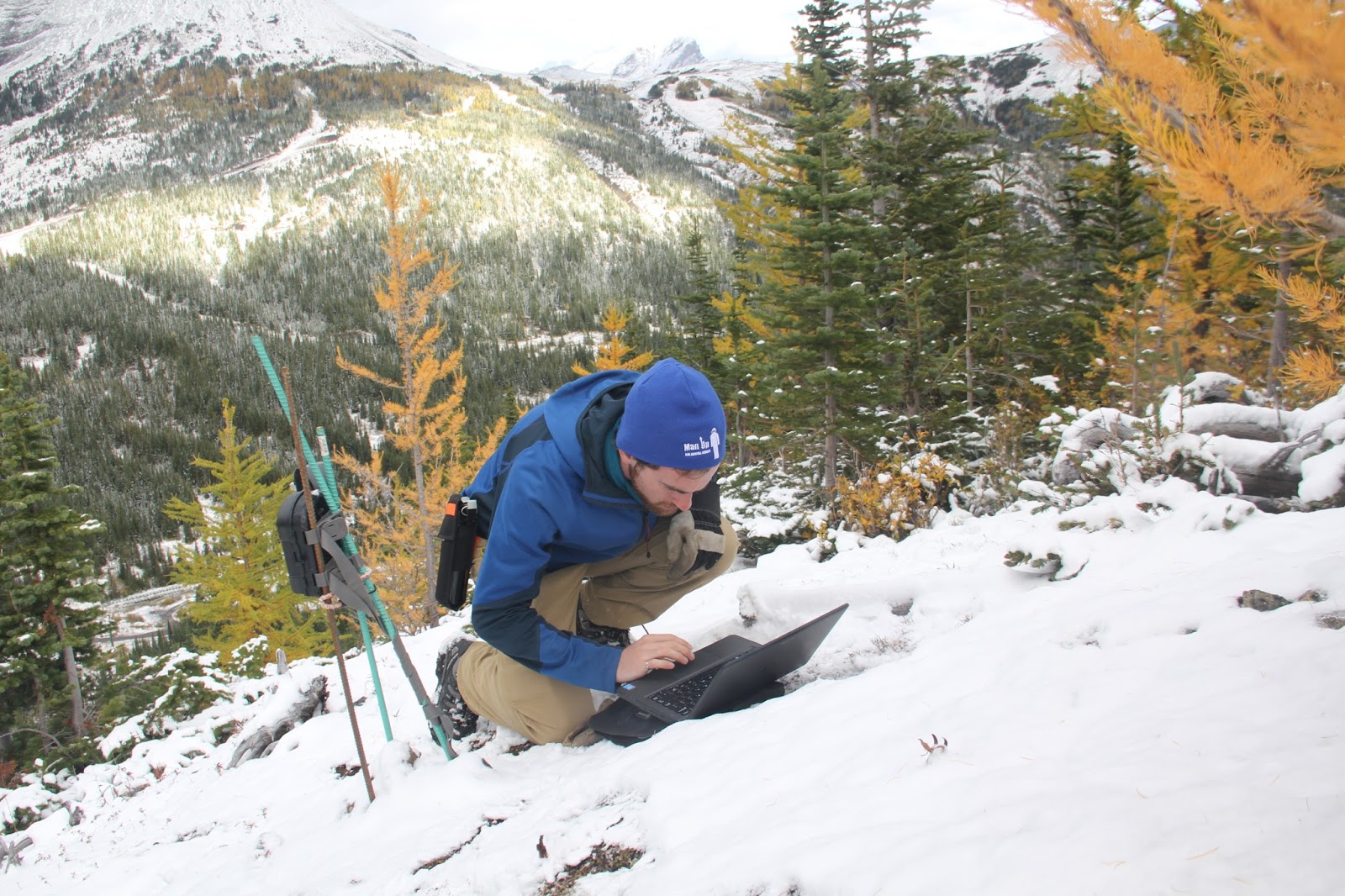
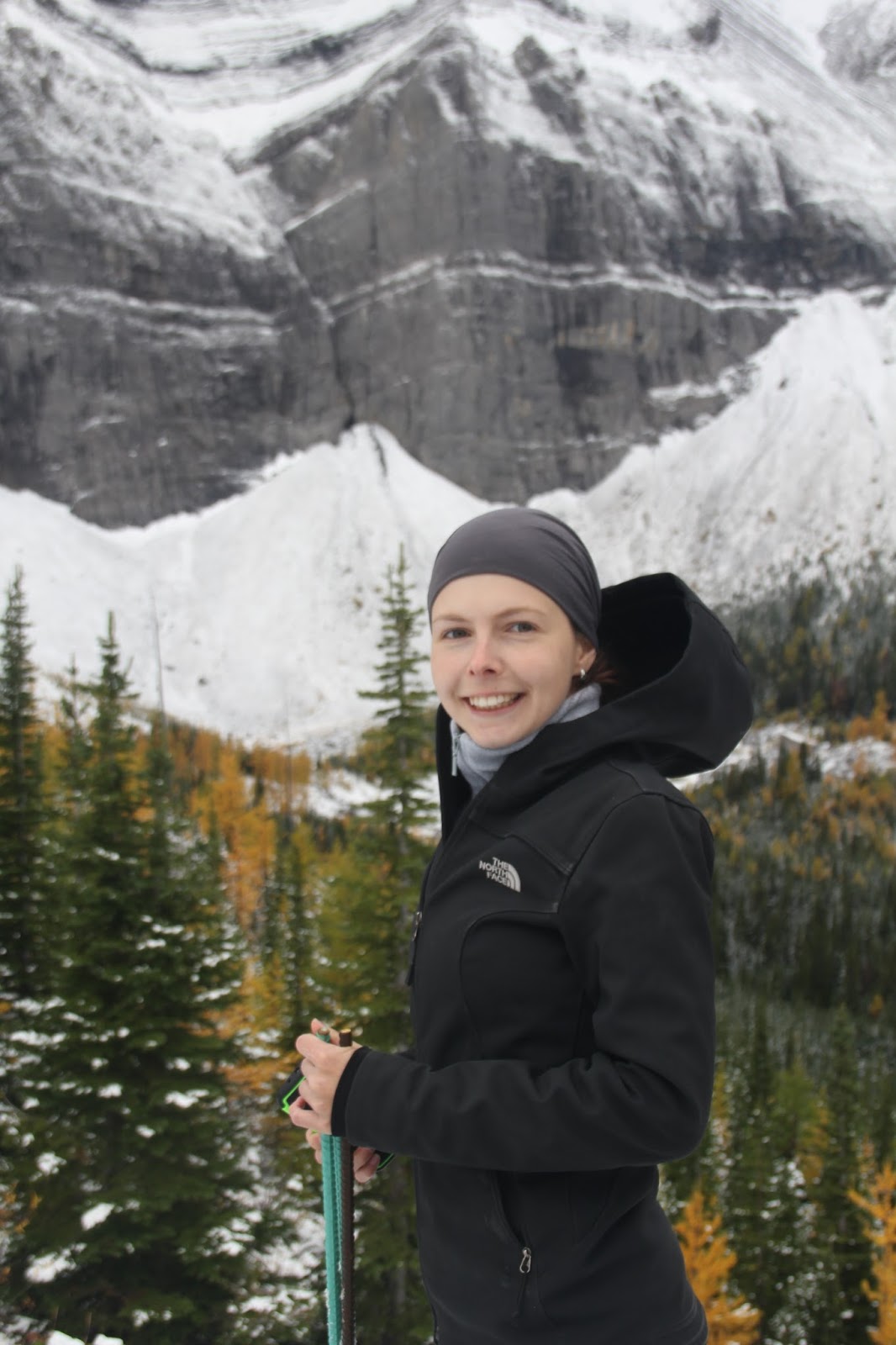
Here are some additional photos from the campaign:

Saturday 9 July 2016

Early season field work - June and July 2016

 The avalanche danger and treacherous roads keep me away from my field site all winter, but now that the snow is finally done and there are no more looming cornices way up high on those cliffs, it's time for a second field season.

I am planning 5 additional days of geophysical data collection later this July, but I've been busy in the meantime collecting temperature and electrical conductivity measurements of water, setting up time-lapse cameras, installing piezometers and stilling wells, and taking samples. Here's a selection of nice photos showing what I've done so far.

Wading through Bonsai Lake on a warm, sunny day in late June.

June 14, 2016

Tuesday 17 May 2016

Award Announcements

I have some exciting news to share. After both of the conferences that I attended in March, I have received some form of recognition for my work based on evaluations of my fellow conference attendees:

  • At Geoconvention in Calgary, I was given the distinction of "Best Student Oral Presentation – Honourable Mention," which places me among the best of over 300 papers at the conference. 
  • At SAGEEP in Denver, I was among the top 4 papers out of over 200 submissions at the conference. As such, I have been invited to present at the European Association of Geoscientists and Engineers’ (EAGE) Near Surface Geoscience Division meeting in Barcelona in September 2016 to represent the "Best of Denver 2016". 
I'm very grateful to my peers for choosing me for these honours, and I am especially excited to travel to Spain for the first time and meet my European counterparts. I look forward to cracking more jokes at Leonardo DiCaprio's expense (thankfully, he's a big enough star that I don't have to change my jokes) and, of course, to sharing my interesting results from beautiful Fortress Mountain. 

Thursday 10 March 2016

First Results - Annotated Conference Presentation from March 2016

Last fall, I was occupied with coursework rather than research. But, since completing all the classes I need for my MSc last December, I dove head-first into research and data processing. I am giving two presentations on my results so far this March: one at Geoconvention in Calgary, and one at SAGEEP in Denver. For anyone curious about my story, this post is an annotated version of my Geoconvention presentation that will let you follow along. 

This is a work in progress, so your comments, questions, critiques, and suggestions are all welcome and encouraged. 

A short summary if you can't read it all:

  • Mountain sources account for 2/3 of all surface water flow in the Calgary area. Groundwater storage helps regulate that flow, but our understanding of these groundwater processes is based on only one case study.
  • We use geophysics (resistivity and seismic methods) to investigate the subsurface at a new site in the Kananaskis Valley. 
  • We see some processes that we recognize from earlier studies: there is a thin layer of water flowing on top of bedrock, and there are large buried depressions that store water and slowly release it to surface streams. 
  • We observe processes that were previously undocumented in Canadian Rocky Mountain headwaters: buried channels, and perched water tables in talus slopes. 
  • This field site contrasts with our previous case study. These results will help us with forecasting water availability by hinting at which groundwater processes are ubiquitous and which ones appear in only some locations.